Today, I bring you a tale of woe; a story punctuated by urban decay, poor mapping data, and the hubris of a writer. This is a story of the many abandoned schools in Victoria, and my efforts to determine whether they’ve withstood the trials of time, or fallen under its crushing weight. The bards might not sing of what transpires within these words, but nonetheless it’s a tale that must be told.
I started working on this post months ago, thinking it would be a quick project that I could research and write out in a day or two. After all, how hard could it possibly be to look at the street view of the 50 or so maybes from the last post?
As I quickly discovered, I was a naïve fool. Since these schools are closed they’re actually not searchable on Google Maps directly, which means you need to find their address somewhere else. This sounds easy enough, but since most of these schools were located in obscure country towns, information on them is verrrry sparse on the internet. Because of this, I ended up almost exclusively using dud map sites, which haven’t updated their information in many years. Of course, since these map sites suck, their address data was vague and often inaccurate, which made finding these schools an absolute chore.
This would have been bad enough, but there was another problem that soon reared it’s nasty head: Google Street View is extremely outdated in country towns. Combined with the often vague address information, I actually had trouble nailing down the location of a bunch of these schools. And the out-of-date street view means that I had to guesstimate from satellite data whether the sites were still standing or not.
Because of these problems, the amount of time and words I needed to dedicate to each school quickly increased, and this post started getting long. So, I’ve decided to call it at about the 3000 word mark and split this post in two, which means Part 3 coming soon babyyyy!
But for now, enjoy my descent into madness / abandoned Victorian Schools.
Altona Gate Primary School
Address: 430 Blackshaws Road, Altona North VIC 3025
Still Standing: No
Looks like it was completely demolished for a housing estate. Rip :(
Ardeer High School
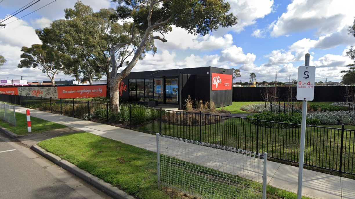
Address: Corner of Glengala Road & Allison Street, Ardeer, Victoria 3022
Still Standing: Yes-ish
It looks like this still exists, but it’s unclear if it’s actually still being used or not (at least on Google Maps).
Athlone Primary School
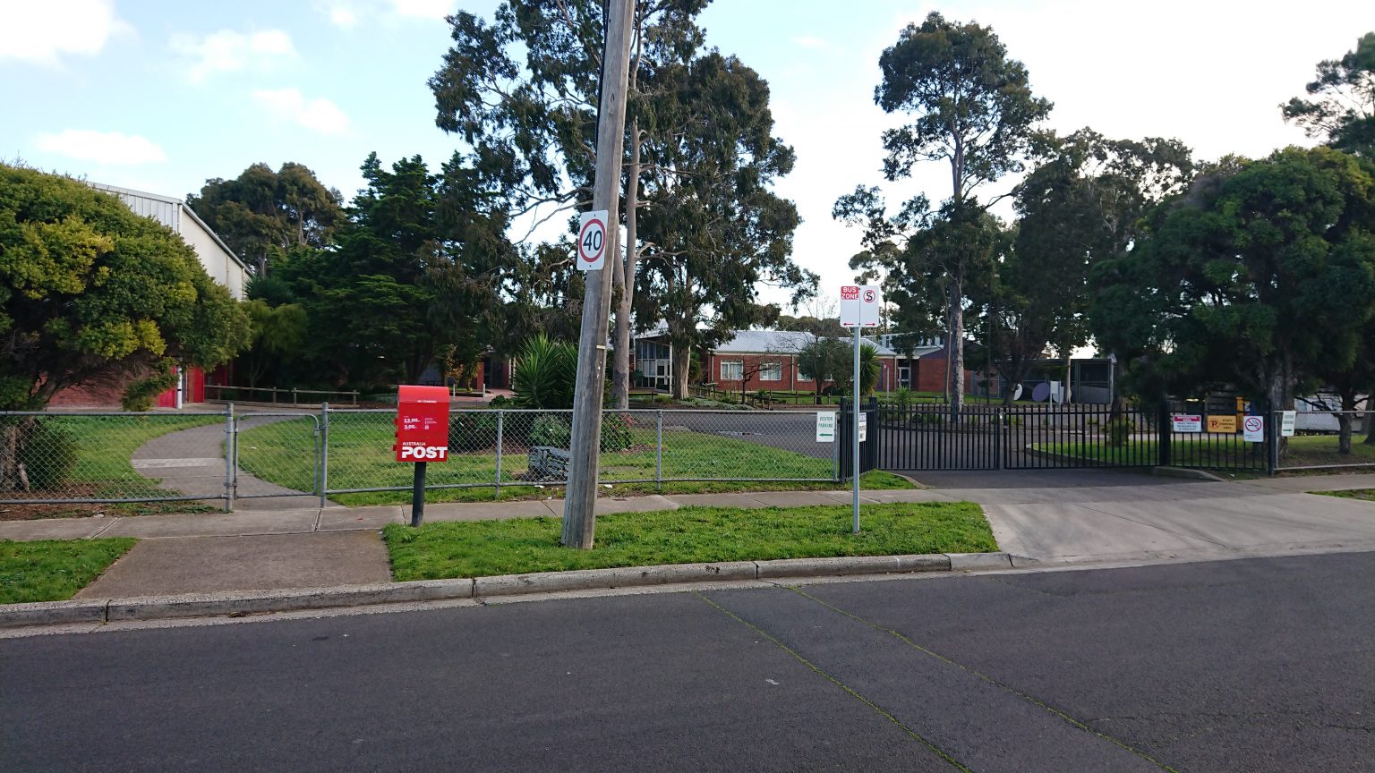
Address: 930 Drouin-Korumburra Rd, Athlone VIC 3818
Still Standing: Yes
This looks like it’s still standing! While it’s got some definite Silent Hill vibes, it’s not much of a looker.
Ballendella Primary School
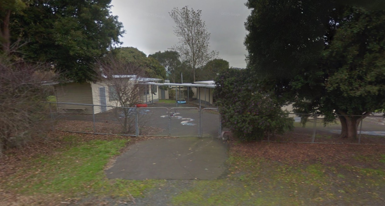
Address: CA 2012 Prairie-Rochester Road, Ballendella, Vic 3561?
Still Standing: Unclear
This was sold in 2018 according to this, but I can’t really tell from Street View or Satellite images if it’s still there. In theory it should be, considering the site is heritage listed, but who knows.
Bellfield Primary School
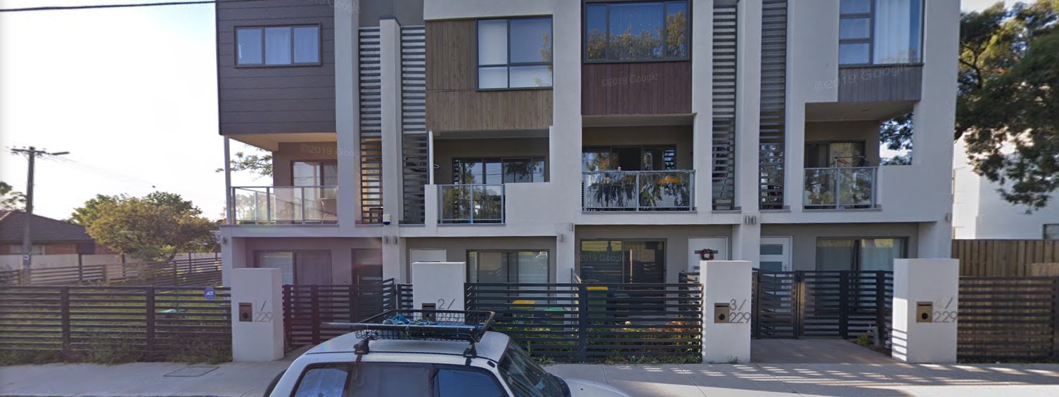
Address: 229 Banksia, Ivanhoe VIC 3079
Still Standing: No
It looks like this was replaced completely with townhouses. Why oh why do we continue to let townhouses exist?
Bena Primary School
Address: Who even knows?
Still Standing: I mean, maybe?
The location for this place is literally listed as “Sth Gippsland Hwy. Bena, VIC, 3946”. Like seriously, do they have any idea how little that narrows it down? Did parents just drive up and down South Gippsland Highway until they spotted the school?
So returning to this much later (it’s been like two months), I think I found it? I tracked down these GPS coordinates (38°24’46.4”S 145°46’11.6”E), which unlike the other set of GPS coordinates I found, actually correlate to a building. There’s no street view for this location, but there appears to be a building from the satellite image. Whether this is actually the school or not is anyone’s guess.
Benalla West Primary School
Address: 44 Clarke Street, Benalla, VIC, 3672
Still Standing? Unclear
It’s still there, but judging by all the cars in the carpark it looks like it’s still being used. Hmm, did I mark this down wrong, or was the website wrong?
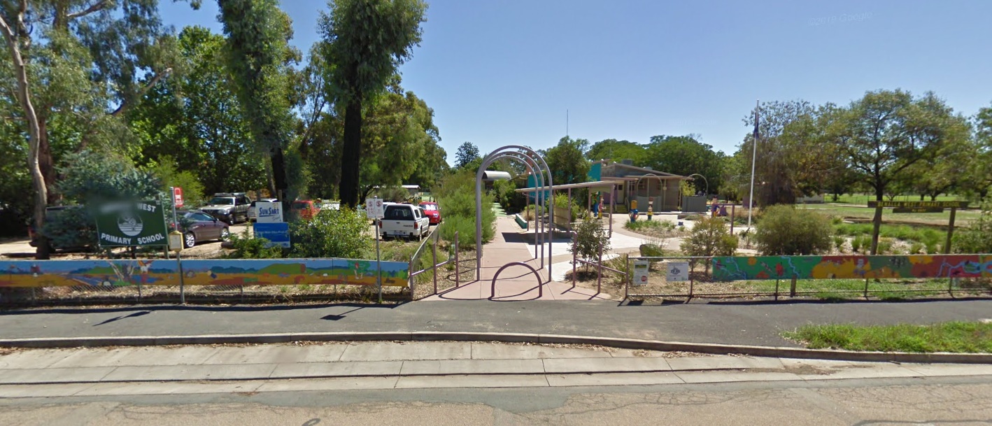
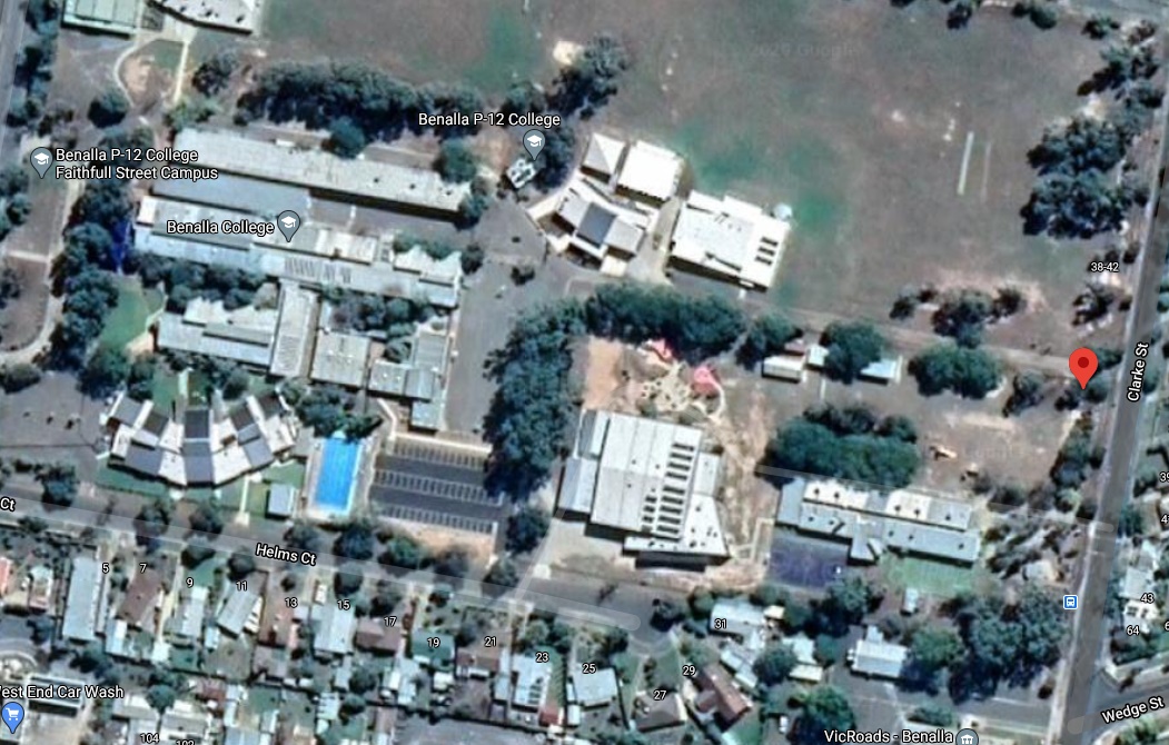
So after some further digging, I found that the school closed in 2013, but the last street view image capture was in 2010. Looking at the more recent satellite image, it looks like it’s still there, but it’s unclear whether it’s part of the Benalla P-12 College or not. Drats, another maybe.
Benambra Primary School
Address: -36.95569, 147.70319?
Still Standing: Unclear (But Probably Yes)
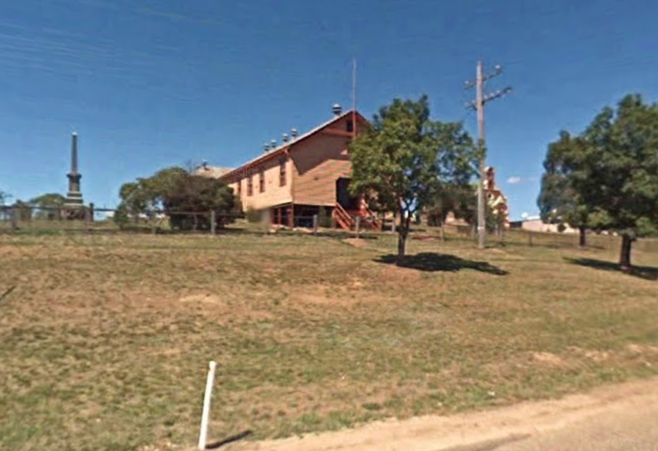
Wow was this one difficult to find. The only record I’ve been able to find for its location is some random GPS coordinates from a vaguely shifty website; and I have no way of confirming if they’re accurate. Seriously, how is it easier to find the ABN of this place than the actual location? Anyway, again using satellite images (since Street View hasn’t dared enter this cursed town since 2008) we can see that the coordinates at the very least point to the right town, so there’s a plus. The location itself seems wrong, although it’s possible they converted the old school into a public hall. This needs some further exploring.
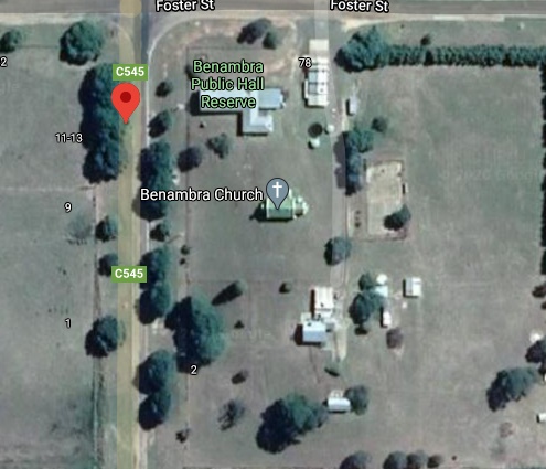
Ok, the school closed in 2002, so the street view from 2008 can at least give an indication of the lay of the land. Looking at the public hall, two things become apparent: This doesn’t look like it used to be a primary school; and this town is barren as heck. No wonder the school shut down, can this land even support life?
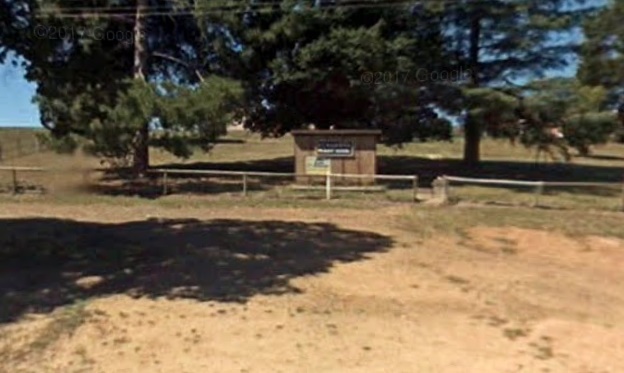
Looking at the bottom left of the satellite image, it looks like there’s a cluster of buildings that seem too scattered to be housing. After some further exploring on street view I found this sign, which if you really squint kinda looks like it says “Benambra Primary School”. Unfortunately it seems like this town had a drought of pixels as well as water in 2008, so it’s impossible to make out.
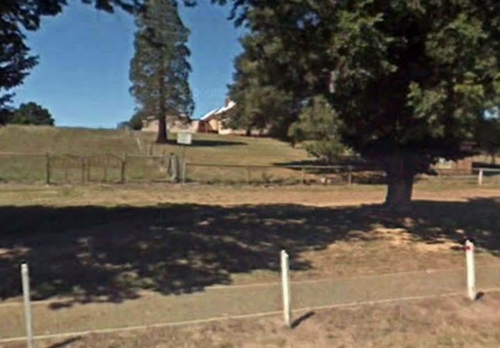
The property itself is mostly hidden by the trees, but from this angle it kind of looks like a primary school. Alas, I have many more schools to look at, so Benambra will get to keep its secrets for now.
Bendigo East Primary School
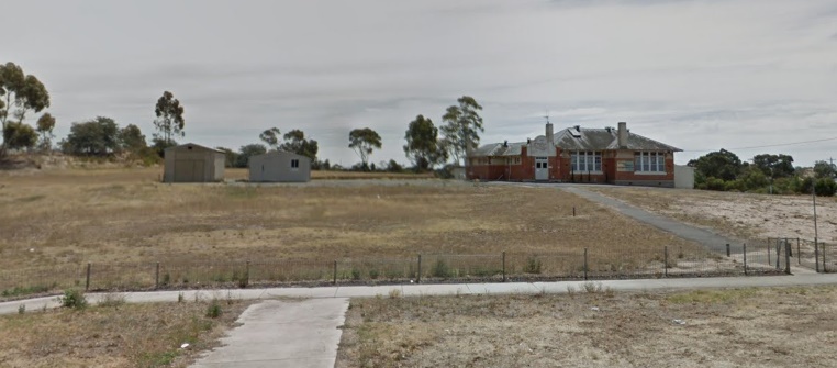
Address: 93 Strickland Road, East Bendigo
Still Standing: Yes (But not for long)
Alright now we’re talking, an actual easy find! As of 2018, it still looks like it’s in good shape, although it looks like it’s just a single building in the middle of a desolate field. Man, country folk really have it rough. This might not be here for much longer though according to this article, since it’s apparently being turned into a set of offices, a warehouse and a showroom. Looking at their image of the site, it somehow looks even more desolate than the street view picture. Seriously, why on earth did they tear out all the grass from the land? (probably because of bushfires honestly, but that won’t stop me from being melodramatic).
Bessiebelle Primary School
Address: 18 School Road, Bessiebelle, Vic 3304
Still Standing: Yes, but sold
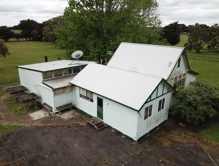
Damn, I could have brought this if I’d been a year quicker and a million dollars richer. Bessiebelle Primary School is still standing, and isn’t in that bad of condition considering it’s in the middle of nowhere. Even the grass is greener than some of these other abandoned schools. Unfortunately it was sold in December 2019, so odds are it’s inhabited by now (although with the pandemic, who knows). I’m gonna shamelessly steal one of the images from the property listing since it’s not going to be very visible from street view, but there’s a bunch of cool images of the property if you take a gander at the link. With a bit of renovation this would be such a cool place to live
Also I love how it’s located on “School Street”, continuing in the charming Australian tradition of naming streets after the thing that’s on the street.
Boorhaman Primary School
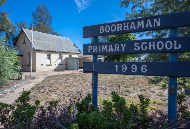
Address: 1548 Boorhaman Road, Boorhaman, Vic 3678
Still Standing: Yes, but sold
Apparently the Department of Education just had a clearance sale of all its schools last year (everything must go!), because this one was also sold recently. I’ve gotta say, this one probably beats Bessibelle in terms of places to live. The property is in great shape, and it actually looks like a primary school. It even has the original toilets! And it was a steal too, it only cost the buyer $150,000 for a big piece of land, property, and history. It was sold as residential property, so odds are someone’s living in it by now unfortunately. (Also I’ve stolen one of the listing pictures again, so thanks realestate.com).
Brim Primary School
Address: 23 Swann St, Brim VIC 3391
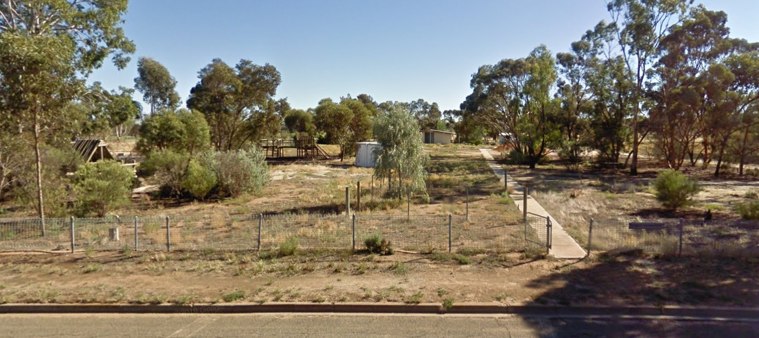
Still Standing: Partially
So it looks like most of the site was cleared, but they’re not actually using the land for anything. There’s still a few scattered buildings and playgrounds, and there’s a big time capsule slated to be opened in 2034 that’s become a minor tourist attraction.
Caramut Primary School
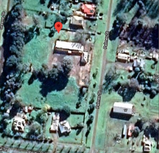
Address: Palmer Street, Caramut VIC 3274
Still Standing: Probably
This was another tricky one to suss out. It was easy enough finding the street it’s on, but actually figuring out which building is/was the school is super unclear, and definitely not helped by the street view being taken in 2008. After some further research into the history of Caramut, I found this page, which stated:
“In 1861 a common school was built near the present Post Office. In 1872 the present blue stone school was built & became a State School.”
So I’m looking for a building made of blue stones near the post office. Also apparently before the school we’re looking for was built, this school was originally in “the kitchen of Mr. R.J. McCully’s home”, before being transferred to “a shed at Dr. Ewing’s”. Local town histories are incredible.
Still, with the blurriness of the image, I’m gonna need more information. Looking at this document from the Victorian government about historic places in South-Western Victoria, the primary school is described as:
“… a simple hipped-roof, single-room bluestone common school built in 1861.”
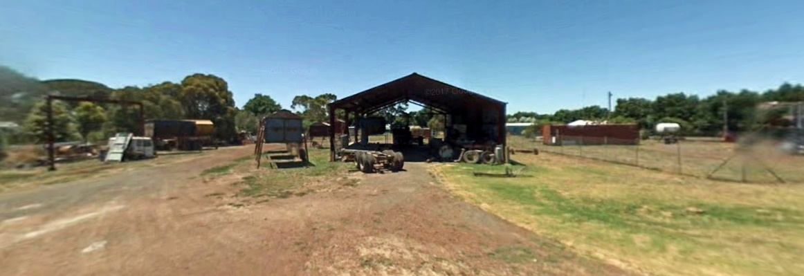
Which should hopefully narrow down the search (also this contradicts the earlier statement that says the bluestone school was built in 1872 ahhhhh). With the criteria of one room, simple hipped-roof and bluestone walls, I think I’ve narrowed the property down to 2 sites. It’s either this dilapidated old shed:
Or this place (that might just be a house):
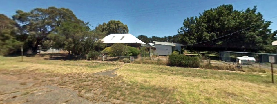
Looking at the satellite imagery, the shed is apparently considered to be at 17 Brown Street, so that probably rules that out. These random GPS coordinates I found seem to point at the maybe house, so I’d say odds are it’s that place. And looking at the satellite images of this place, it’s at the very least still has a roof (and presumably walls), so it’s probably still standing.
Carrajung South Primary School
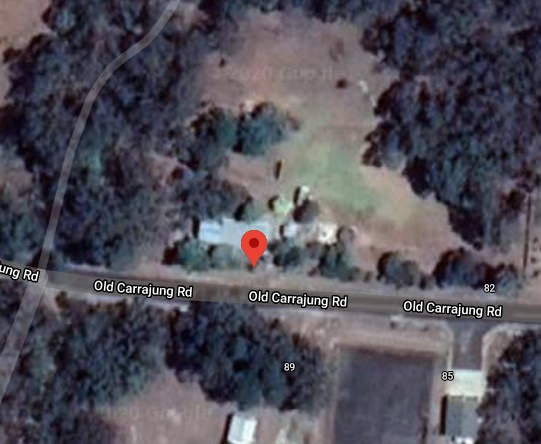
Address: 90 Old Carrajung Rd, Carrajung Lower, Victoria
Still Standing: Yes (Probably)
I guess it’s time for another trip into the time before pixels (2008), since the Street View team apparently haven’t gone outside metro Melbourne for over 12 years. So as of 2008 it was still there, but it wasn’t officially closed until 2012 so this probably necessitates further research.
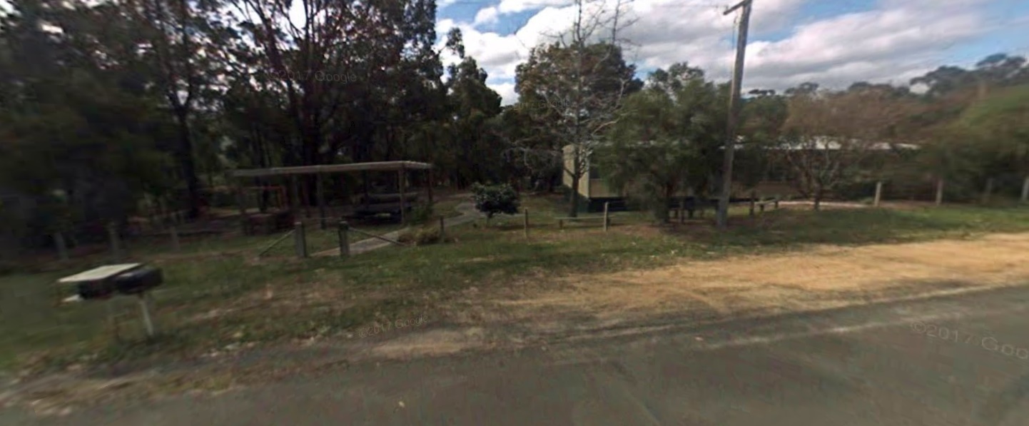
It doesn’t appear to have been sold from what I can find, and the building is still visible on satellite imagery, so i’d say there’s a decent chance of it still being there. Looking at this list of land being prepared for sale by the Victorian government (which I’ll probably do a post on at a later date (oooh foreshadowing)), Carrajung South Primary School is on there (but the address is wrong?). So odds are if the building still is there, it won’t be for too much longer.
Castlemaine Technical School
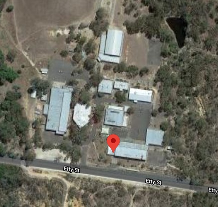
Address: 35 Etty Street, Castlemaine Victoria, 3450
Still Standing: Yes
Although this school was technically closed in 1994, it was still being used as a high school campus until 2019. This complicates things again, because the street view images are from 2010. At least they don’t look like they were taken by a potato.

So back to the satellite images, and it looks like the buildings are still there, and in pretty good shape. I mean, I guess you’d hope so considering it’s only been closed for like a year. According to the learning from the past website, proposals are being considered for the site, and “A Hot Rod Centre is in the mix”. So while there’s exciting times ahead for this defunct school, it won’t remain abandoned for long.
Cloverlea Primary School
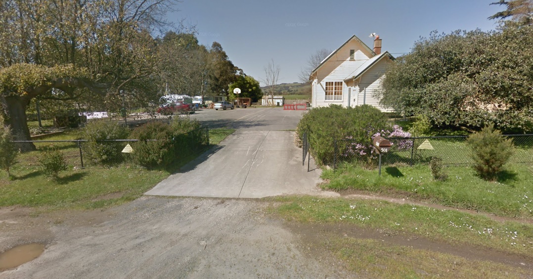
Address: 501 Darnum-Allambee Road, Cloverlea, Vic 3822
Still Standing: Yes, but sold
Yet again, the Victorian government has shown a sickening willingness to “sell property that they own and don’t use anymore”. Truly, what has the world come to? So this property was sold in 2009 for a tidy sum of $330,000, and it looks like it’s been given a fresh coat of paint in the 2014 street view images. So odds are that someone lives there now.
Colac High School
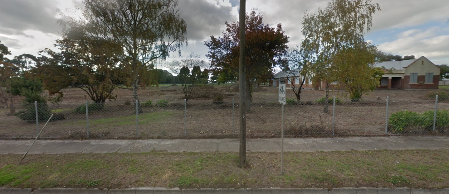
Address: 413 Murray St, Colac Victoria
Still Standing: No (except for one building)
Looks like Past Sam made a mistake, this site was cleared long ago. One of the original heritage buildings is still there, but most of the site was sold to the local council for community use.
Coomoora High School (Springvale South)
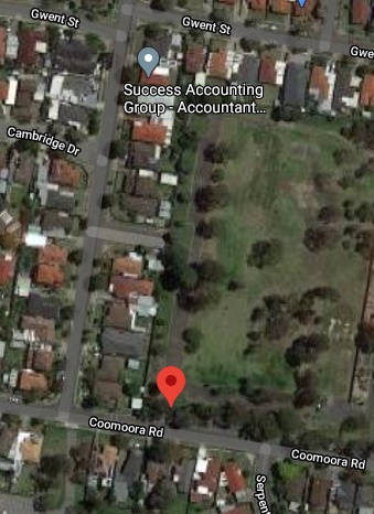
Address: 15-39 Coomoora Rd, Springvale South VIC 3172
Still Standing: No
It’s a big ol’ empty field unfortunately, nothing much to see here. I’ve used the satellite image here since the street view image is kind of unclear.
Corio North High School
Address: 91 Hendy St, Corio Victoria 3214
Still Standing: No (mostly)
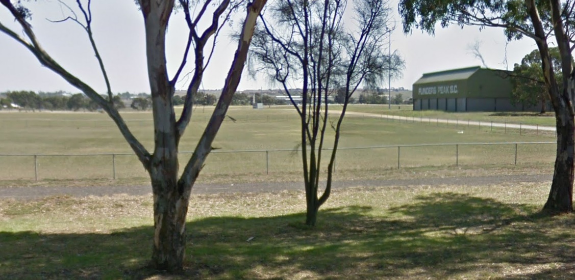
It looks like it’s been mostly cleared, there’s nothing left but an old gymnasium and a really massive oval. Like holy crap, you could play so many sports on this thing, it’s absolutely hectic. Looks like these won’t even be here for too long, it’s set to be sold as well.
Cressy Primary School
Address: 21 Yarima Rd, Cressy VIC
Still Standing: Yes?
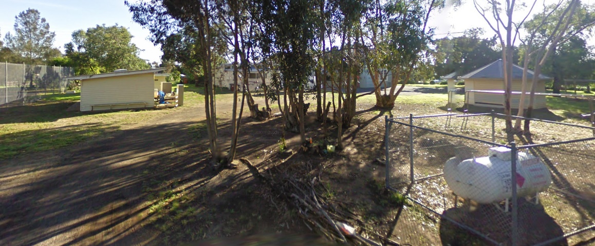
Damn you Google Maps, once again your outdated data has caused me undue harm and anguish! So, the Street View as of 2010 shows this place in really good condition, but there’s one problem, this school shut down in 2010. So yes, believe it or not, this school was still standing when it was operating as a school.
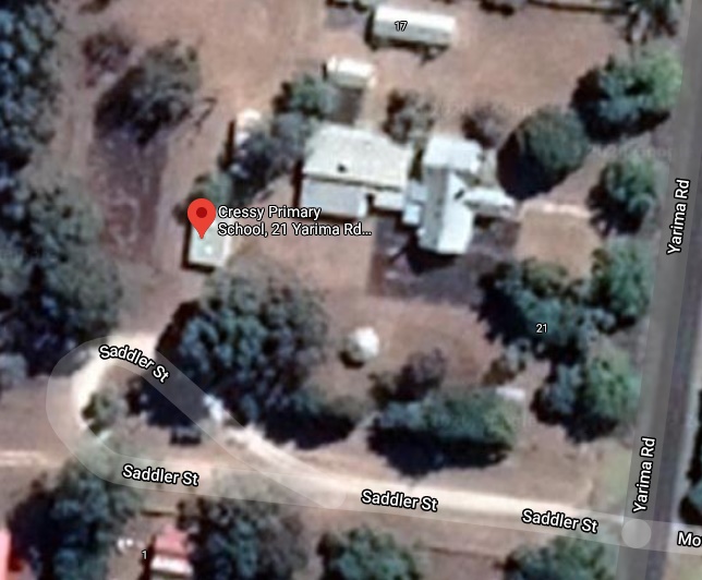
Going to the satellite imagery, we can confirm that this place at the very least still has a roof. Since this place is being prepared for sale as of 2020, I doubt it’ll have a roof for much longer (or anything else really).
Crinigan Road Primary School (Morwell)
Address: 2A Crinigan Rd, Morwell VIC 3840
Still Standing: No
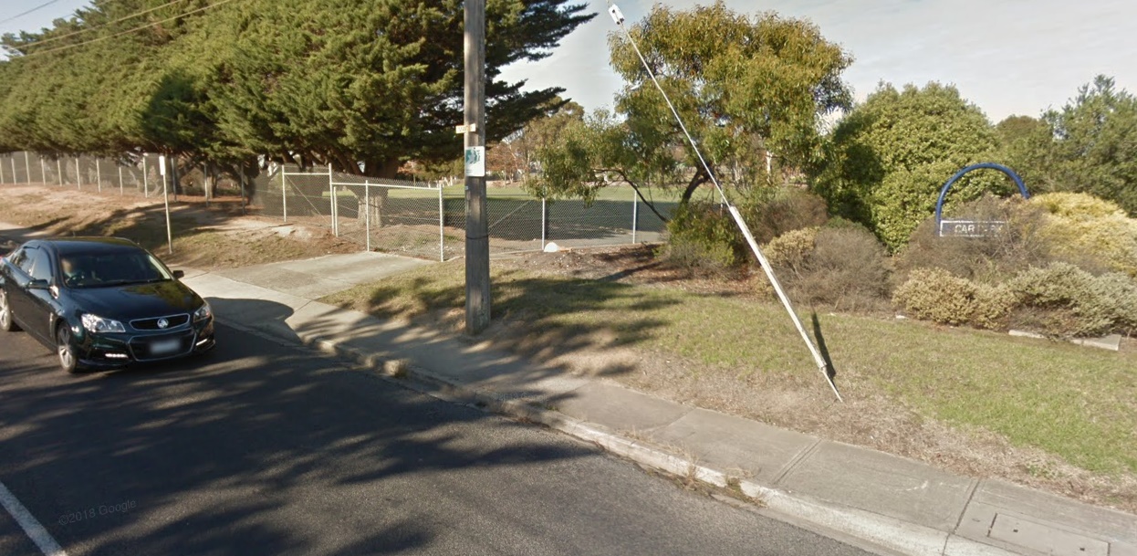
Dun dun dun, another one bites the dust. Yeah by all appearances this site was completely demolished as of 2018, with no stone left unturned. At this point I’m just surprised they left the trees. Looking back at this article about the property from 2016, it looks like the Department of Education was once again overcome by their lust for destruction and property auctions, so they just straight up demolished three heritage listed buildings to get the property ready for sale. Say what you want about the government, but at least they have style.
Dean Primary School
Address: 1309 Ballarat-Daylesford Rd, Dean VIC 3363
Still Standing: Yes
Dean is a proud rural town, following in the time honoured tradition of using people’s names for places. Come for the numerous plantings of exotic trees, stay for the potatoes grown under spray irrigation. Of course, a town of such exquisite soil quality requires a center for learning to match, and so, in 1911 the Minister of Education himself successfully lobbied for Dean’s primary school to become the first “higher elementary school”. What is a higher elementary school you might ask? Well don’t because I can’t find an answer to that. Neither could the government apparently, because in 1934 it reverted to a state school.
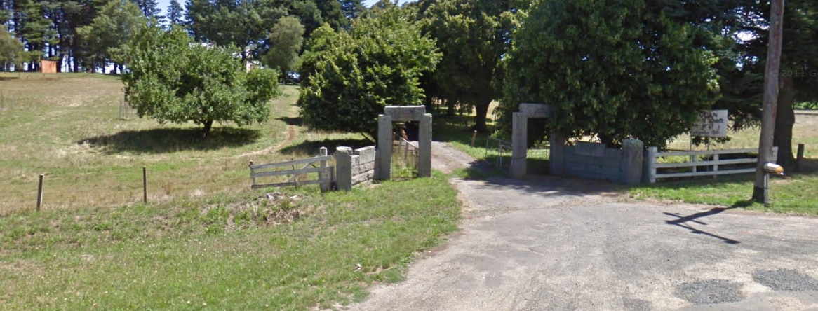
Anyway, tangent aside this school is heritage listed and should be still standing. Looking at the street view from 2010, the entrance is still there, although the sign vaguely looks like it was written in blood.
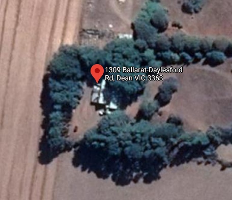
And heading over to the satellite view, it looks like the building’s still there.
Drummartin Primary School
Address: 1909 Drummartin Road, Drummartin VIC 3570
Still Standing: Yes
Wow, this school was actually pretty hard to find. Unlike the other difficult to find schools, there’s actually a bunch of information about this one online. Unfortunately, all that information is frustratingly vague, and put the address of this school as either “Drummartin Road” or “Hunter Road”, which both are ridiculously long. Luckily though, I managed to find the address on the Victorian government’s list of sites being prepared for sale, so all is well (also Hunter road is really far away from the actual location, and the road doesn’t even go into Drummartin, how the hell did it get listed as the location on so many different sites?).
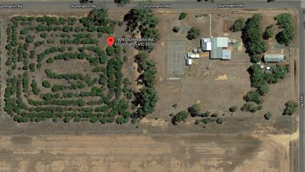
Continuing to distinguish itself, this school isn’t even visible on street view, which I have never encountered before. Apparently even the street view team dared tread in these cursed lands. I mean can you blame them, this place apparently had “1.7 teaching staff, including the principal”. Surprisingly, the satellite data actually managed to snipe a picture of this place, so we can still get an idea of how it’s going. It looks pretty intact, although I guess it’s only been 5 years since it closed, so the government hasn’t had too much time to scour it from the earth.
Echuca High School
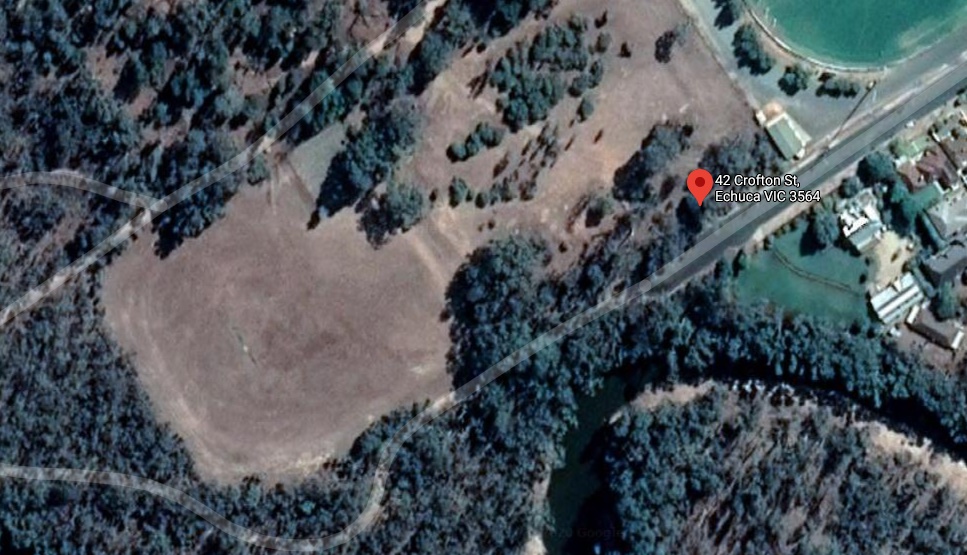
Address: 42 Crofton St, Echuca VIC 3564
Still Standing: No
When the Street View car came driving past in 2010 the school was still there, having closed just a year prior.
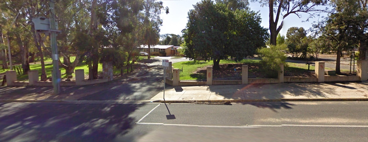
But in the 10 years since the government has come a knockin’, completely clearing the site and leaving nothing but trees. In fact, their desolation was so complete that even the grass looks less vibrant than it once was. Truly the government’s lust for destruction knows no bounds, since they didn’t even sell the property, they just tore it down and kept the land for a rainy day.
Echuca South Primary School
Address: 50-62 McKenzie Street, Echuca VIC 3564
Still Standing: Yes?
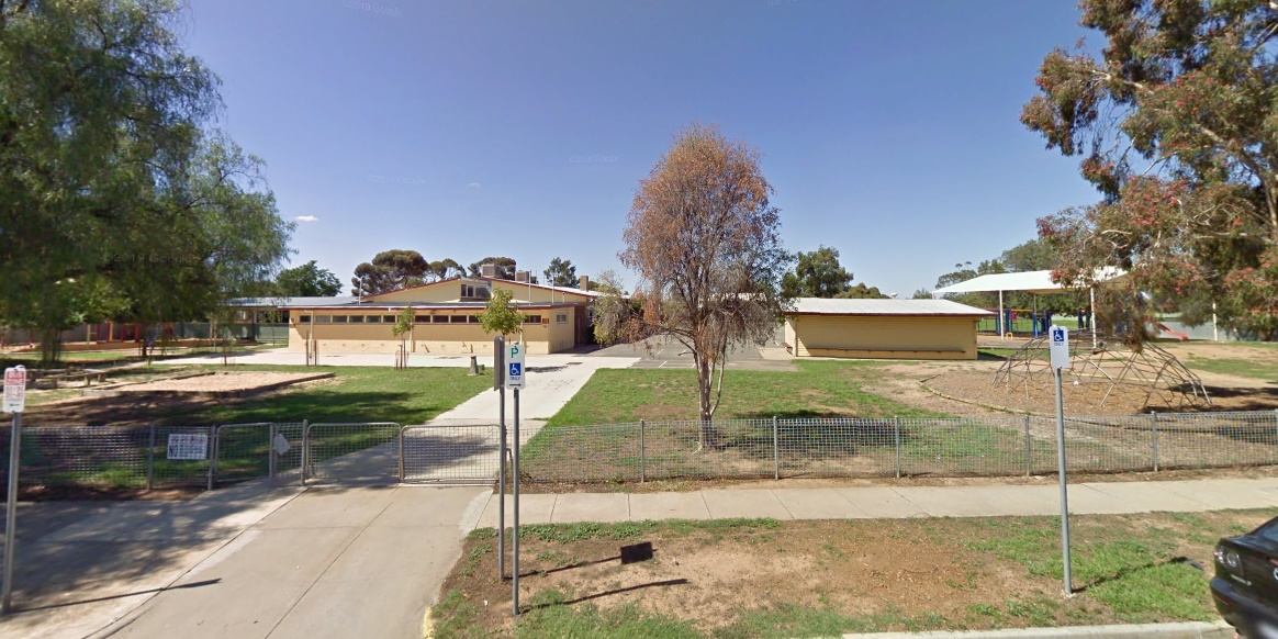
Echuca South Primary School closed in 2018, so shockingly in 2010 (which was the last time the Street View car mossied by), the school was still standing. Does Google Maps even remember that there are places outside metropolitan Melbourne anymore?
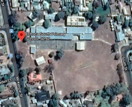
So as usual, we’re gonna have to take a trip to a place called satellite island. The buildings still look like they’re in good shape, and considering it’s only been two years since it’s closure I doubt it’s fallen into too much disrepair.
Congratulations, you’ve reached the end of my ramblings (for now)! Stay tuned, for more excitement!, more drama!, more action!, and most of all, more government sales of property!; in the thrilling and hopeful conclusion of the Abandoned Victorian Schools saga!